
Geographic Information System (GIS)
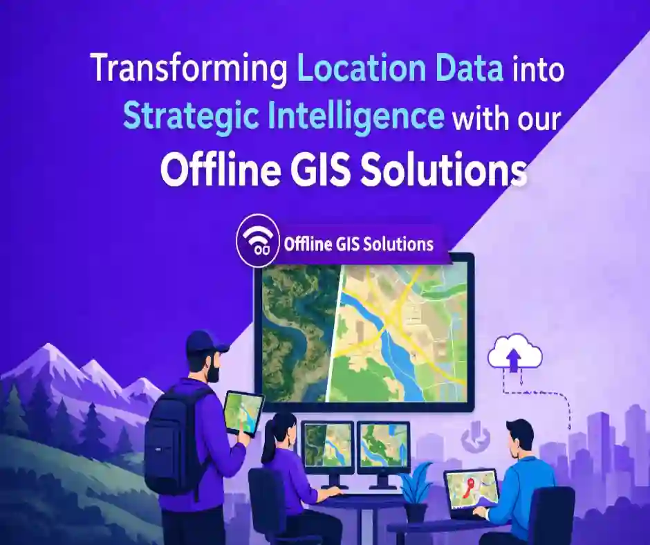
Transform Location Data into Strategic Intelligence
APT Software delivers battle-tested, end-to-end GIS solutions that work where it matters most – even without connectivity. From defense operations to utilities management, we transform complex geographic data into actionable intelligence.
Our Core Strength: Offline GIS Solutions
When Connectivity Cannot Be Assumed
In defense, remote operations, and critical infrastructure zones, internet connectivity is unreliable or restricted. Our offline mapping solutions ensure mission-critical operations continue seamlessly.
Comprehensive Layer Implementation:
- Boundaries & Administrative divisions (districts, subdistricts, settlements)
- Natural features (water bodies, lakes, waterways, forest parks)
- Transportation networks (motorways, trunk roads, primary roads, minor roads, rails, pedestrian paths)
- Infrastructure (buildings, amenities)
- Geopolitical data (state boundaries, international regions)
We deliver both satellite imagery and standard map layers through optimized GeoServer implementations, ensuring fast access to multi-layered geographic data without internet dependency.
Full-Spectrum GIS Services
- Custom GIS Application Development – Tailored solutions for your specific operational needs
- Client-Server Architecture – Efficient map data distribution via GeoServer
- Spatial Analysis & Intelligence – Advanced analytics for strategic decision-making
- Asset Tracking – Real-time monitoring across distributed locations
Proven Track Record: Project “Defender”
Client: Government Defense Sector
Challenge: Mission-critical GIS operations in areas with zero connectivity
Solution: Complete offline mapping system with satellite and standard map layers
Our implementation enabled defense operations with:
- Full offline access to satellite and standard maps
- 20+ integrated layers covering terrain, infrastructure, and administrative boundaries
- High-performance GeoServer backend with optimized client applications
- Zero dependency on internet connectivity
Result: Reliable geographic intelligence in the field where connectivity cannot be assumed.
Technology Stack
Enterprise & Open Source:
ArcGIS, QGIS, GeoServer, PostGIS
Web Integration:
Google Maps API, Mapbox, React
Infrastructure:
Cloud platforms, RESTful APIs, Spatial databases
Industries We Serve
Defense & National Security
Mission-critical GIS for areas where connectivity cannot be assumed. Offline satellite and standard maps for field operations, strategic planning, and tactical intelligence.
Government & Public Services
Land management, urban planning, emergency response, and administrative services with spatial intelligence
Utilities & Infrastructure
Asset mapping, network management, outage tracking, and infrastructure optimization
Retail & Marketing
Location analysis, customer demographics, and demand forecasting
Why APT Software?
- Battle-Tested Offline Solutions – Proven expertise in defense-grade offline mapping (satellite + standard maps)
- Full-Stack GIS Expertise – Complete client-server architecture from GeoServer backend to React frontends
- 20+ Layer Implementation – Roads, water bodies, boundaries, buildings, terrain, and more
- Enterprise Scalability – Handle large-scale spatial datasets with optimized performance
- Hybrid Technology Approach – Strategic blend of open-source (QGIS, GeoServer, PostGIS) and enterprise platforms (ArcGIS)
- Modern Web Integration – React, cloud platforms, and RESTful APIs
Business Impact
- Operational Continuity – Work anywhere, even without internet
- Faster Decision Making – Real-time access to multi-layered geographic intelligence
- Cost Efficiency – Open-source foundations with enterprise reliability
- Mission Assurance – Proven in government defense operations
Ready to Deploy Reliable GIS Solutions?
Whether you’re operating in defense zones, managing critical infrastructure, or optimizing retail locations – our GIS solutions deliver geographic intelligence that works anywhere.